OLCI Sentinel-3 Images
Sentinel-3 is an European Earth Observation satellite mission developed to support Copernicus ocean, land, atmospheric, emergency, security and cryospheric applications.
The main objective of the Sentinel-3 mission is to measure sea surface topography, sea and land surface temperature, and ocean and land surface colour with high accuracy and reliability to support ocean forecasting systems, environmental monitoring and climate monitoring.
The SENTINEL-3 Ocean and Land Colour Instrument (OLCI) is based on the opto-mechanical and imaging design of Envisat’s MERIS instrument.
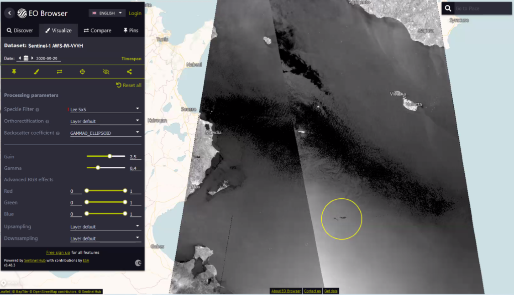
Sentinel-1 Synthetic Aperture Radar
The Sentinel-1 mission is the European Radar Observatory for the Copernicus joint initiative of the European Commission (EC) and the European Space Agency (ESA).
SENTINEL-1 carries a single C-band synthetic aperture radar instrument operating at a centre frequency of 5.405 GHz. It includes a right-looking active phased array antenna providing fast scanning in elevation and azimuth, data storage capacity of 1 410 Gb and 520 Mbit/s X-band downlink capacity.

Map of Chlorophyll concentration deduced from OLCI spectral bands.
Detection of Oil Spill using the Synthetic Aperture Radar of Sentinel I.